
We are proud to operate 15 unique gyms throughout California. Our success comes not from what we do, but why we do it! From belay staff to our directors and managers, instructors to kids program coaches, routesetters to hold makers, we believe in creating a place where we can all come together and do what we love. We are not just gyms. We are a community. Whether you're a bright-eyed newbie, seasoned oldie, or just looking for a great work out, you’ll find your place with Touchstone Climbing.
Waiver
My Account
Our Locations
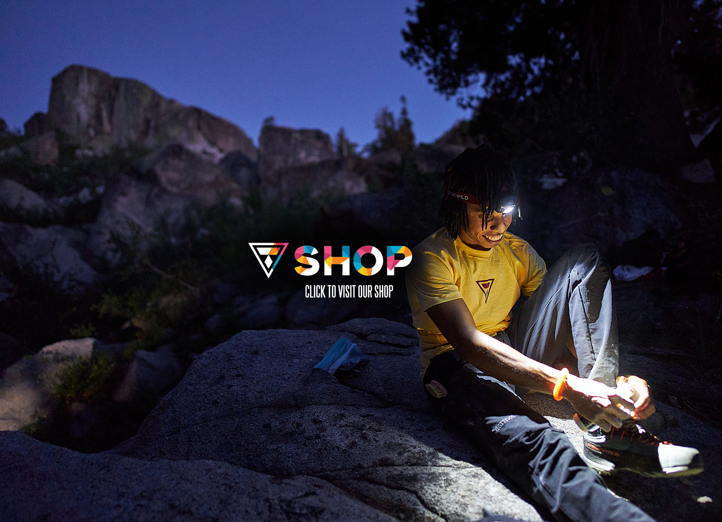
Shop
-

Mission Cliffs
San Francisco, CA
-

Berkeley Ironworks
Berkeley, CA
-

Sacramento Pipeworks
Sacramento, CA
-

Diablo Rock Gym
Concord, CA
-

GW Power Co.
Oakland, CA
-

MetalMark
Fresno, CA
-

The Studio
San Jose, CA
-

Dogpatch Boulders
San Francisco, CA
-

LA.B
Los Angeles, CA
-

Cliffs of Id
Culver City, CA
-

Hollywood Boulders
Los Angeles, CA
-

Verdigo Boulders
Burbank, CA
-

Pacific Pipe
Oakland, CA
-

The Post
Pasadena, CA
-

The Oaks
Berkeley, CA
-

Team Training Center
Berkeley, CA

-
15Locations
-
299,500Sq. Feet of Climbing Terrain
-
1,207Routes
-
2,247Boulder Problems
-
Every year we collaborate with hundreds of community organizations across California to make climbing more equitable and accessible for all.
-
We've got 15 gyms and counting!
-
Sign up for our newsletter. It's rarely sent but when it is, it'll be worth being on this list!
Proudly supporting